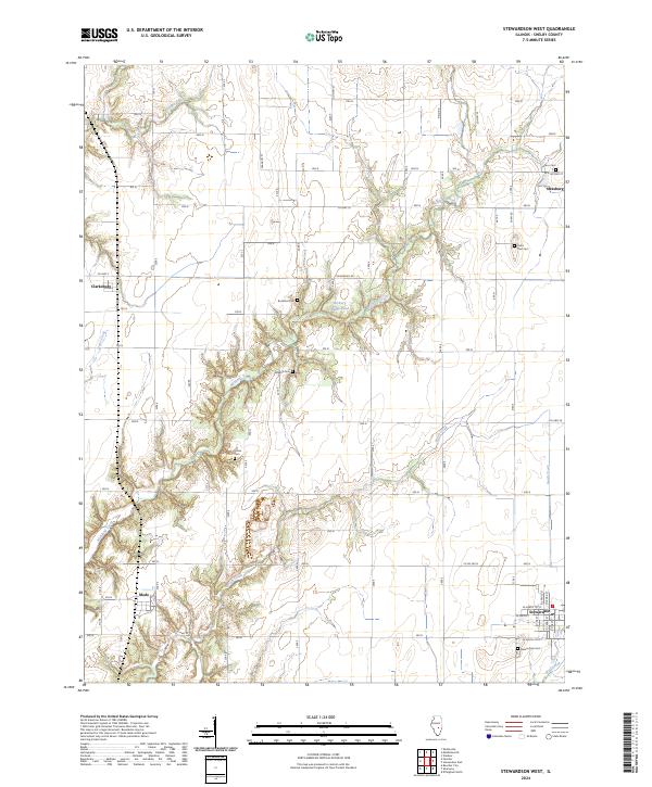
2024 Map of Stewardson West
USGS Topo · Published 2024About this map
The agrarian landscape of Shelby County is defined here by the winding course of Richland Creek and its many tributaries, which carve through the grid of section lines and rural roads. This 2024 survey captures the established settlements of Stewardson in the southeast and Strasburg in the northeast, alongside smaller locales like Mode and Clarksburg. The map is particularly useful for genealogical research, documenting several rural burial sites that serve as anchors for local history, including Union Cem, Graybill Cem, and Rockford Cem.
Find a feature on this map
33 named features on this map. Tap any name to fly to it.
Don’t see what you’re looking for? This feature index may not catch every label — zoom into the map to look around manually.
Map Details
Editions of this 2024 Stewardson West Map
This is the sole edition of this map. No revisions or reprints were ever made.
Other maps of this area

1941 · St. Elmo
USGS Topo · 1:62,500

1942 · Shelbyville
USGS Topo · 1:62,500

1945 · St. Elmo
USGS Topo · 1:62,500

1946 · Shelbyville
USGS Topo · 1:62,500

1947 · Stewardson
USGS Topo · 1:62,500

1949 · Stewardson
USGS Topo · 1:62,500

1950 · Effingham
USGS Topo · 1:62,500

1951 · Effingham
USGS Topo · 1:62,500

1958 · Decatur
USGS Topo · 1:250,000

1961 · Decatur
USGS Topo · 1:250,000