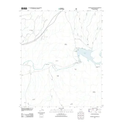
2011 Map of Stewart Mountain
USGS Topo · Published 2011About this map
Saguaro Lake dominates this central Arizona landscape, where the Salt River carves through a dramatic series of canyons and mountain ranges. The map documents the recreational and operational infrastructure of the early 21st century, from the Saguaro Lake Marina to the localized Salt River Project Housing and the Saguaro Lake Ranch Resort. The terrain is characterized by sharp elevation changes and named landmarks such as Stewart Mountain, Blue Point, and the Goldfield Mountains.
Find a feature on this map
31 named features on this map. Tap any name to fly to it.
Don’t see what you’re looking for? This feature index may not catch every label — zoom into the map to look around manually.
Map Details
Editions of this 2011 Stewart Mountain Map
This is the sole edition of this map. No revisions or reprints were ever made.
Other maps of this area

1900 · Florence
USGS Topo · 1:125,000

1902 · Florence
USGS Topo · 1:125,000

1904 · Desert Well
USGS Topo · 1:62,500

1904 · Ft. McDowell
USGS Topo · 1:62,500

1906 · Ft. McDowell
USGS Topo · 1:62,500

1906 · Desert Well
USGS Topo · 1:62,500

1907 · Roosevelt
USGS Topo · 1:125,000

1909 · Four Peaks
USGS Topo · 1:125,000

1912 · Roosevelt
USGS Topo · 1:125,000

1930 · Cave Creek
USGS Topo · 1:125,000