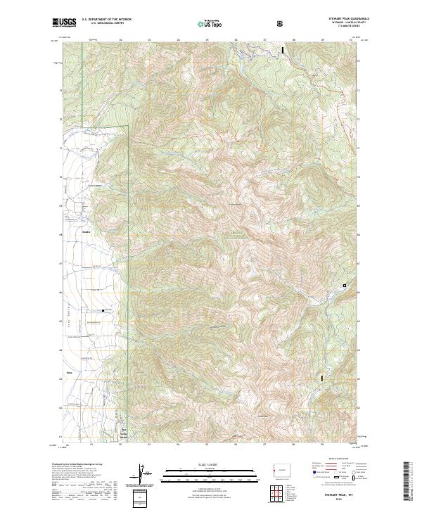
2023 Map of Stewart Peak
USGS Topo · Published 2023About this map
Star Valley residents and researchers will find a detailed landscape of Lincoln County in this modern survey, where the valley floor meets the high ridges of the Bridger National Forest. The transition from rural residential areas like Etna and the planned community of Star Valley Ranch to the steep eastern mountains is sharply defined. Genealogists can locate the Etna Cem near the junction of several county roads, including E Etna Co Rd 110 and Rex Bateman Ln.
Find a feature on this map
48 named features on this map. Tap any name to fly to it.
Don’t see what you’re looking for? This feature index may not catch every label — zoom into the map to look around manually.
Map Details
Editions of this 2023 Stewart Peak Map
This is the sole edition of this map. No revisions or reprints were ever made.
Other maps of this area

1915 · Freedom
USGS Topo · 1:62,500

1921 · Afton
USGS Topo · 1:125,000

1931 · Jackson
USGS Topo · 1:125,000

1932 · Irwin
USGS Topo · 1:96,000

1935 · Irwin
USGS Topo · 1:125,000

1935 · Jackson
USGS Topo · 1:125,000

1955 · Driggs
USGS Topo · 1:250,000

1955 · Preston
USGS Topo · 1:250,000

1958 · Driggs
USGS Topo · 1:250,000

1958 · Preston
USGS Topo · 1:250,000