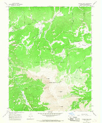
1965 Map of Stewart Peak
USGS Topo · Published 1975About this map
Stewart Peak and the high alpine ridges of the La Garita Wilderness anchor this mid-1960s survey of the Saguache County high country. The landscape is defined by its drainage basins and mountain passes, where Los Pinos Creek and Cebolla Creek carve through the Gunnison National Forest. A network of pack trails and jeep trails provides the only transit through these elevations, connecting remote points like Los Pinos Pass and the ironically named Devils Hole.
Find a feature on this map
33 named features on this map. Tap any name to fly to it.
Don’t see what you’re looking for? This feature index may not catch every label — zoom into the map to look around manually.
Map Details
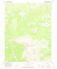
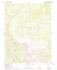
Editions of this 1965 Stewart Peak Map
3 editions found
Other maps of this area

1905 · San Cristobal
USGS Topo · 1:125,000

1907 · San Cristobal
USGS Topo · 1:125,000

1908 · Uncompahgre
USGS Topo · 1:125,000

1911 · Uncompahgre
USGS Topo · 1:125,000

1914 · Creede
USGS Topo · 1:125,000

1916 · Creede
USGS Topo · 1:125,000

1945 · Durango
USGS Topo · 1:250,000

1953 · Durango
USGS Topo · 1:250,000

1954 · Durango
USGS Topo · 1:250,000

1956 · Montrose
USGS Topo · 1:250,000