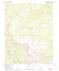
1965 Map of Stewart Peak
USGS Topo · Published 1991About this map
Stewart Peak and the high elevations of the San Juan Mountains dominate this mid-1960s survey within the Gunnison National Forest. The map captures a transition from high alpine summits like Baldy Chato and Baldy Alto down into a series of named open spaces including Horsefly Park, Sage Park, and Blue Park. These natural openings in the timber, often found along drainage headwaters, suggest a landscape managed for seasonal grazing and high-altitude water collection, evidenced by the Cochetopa Meadows Ditch in the northeast.
Find a feature on this map
38 named features on this map. Tap any name to fly to it.
Don’t see what you’re looking for? This feature index may not catch every label — zoom into the map to look around manually.
Map Details
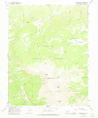
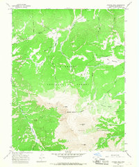
Editions of this 1965 Stewart Peak Map
3 editions found
Other maps of this area

1905 · San Cristobal
USGS Topo · 1:125,000

1907 · San Cristobal
USGS Topo · 1:125,000

1908 · Uncompahgre
USGS Topo · 1:125,000

1911 · Uncompahgre
USGS Topo · 1:125,000

1914 · Creede
USGS Topo · 1:125,000

1916 · Creede
USGS Topo · 1:125,000

1945 · Durango
USGS Topo · 1:250,000

1953 · Durango
USGS Topo · 1:250,000

1954 · Durango
USGS Topo · 1:250,000

1956 · Montrose
USGS Topo · 1:250,000