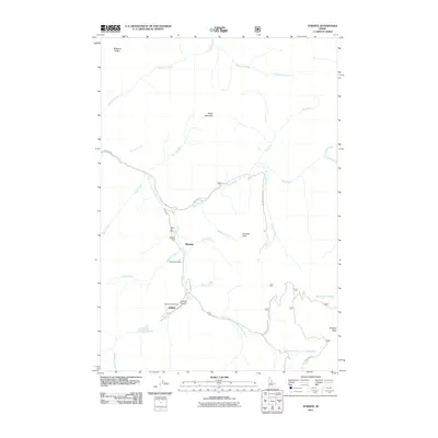
2011 Map of Stibnite
USGS Topo · Published 2011About this map
The mining settlement of Stibnite and its surrounding operations anchor this survey of the Idaho backcountry. Located along the East Fork South Fork Salmon River, this district highlights a legacy of resource extraction with sites like the Yellow Pine Mine, Fern Mine, and Meadow Creek Mine. The industrial footprint is further evidenced by the Stibnite Airport and small outposts such as Monday Camp and Midnight.
Find a feature on this map
33 named features on this map. Tap any name to fly to it.
Don’t see what you’re looking for? This feature index may not catch every label — zoom into the map to look around manually.
Map Details
Editions of this 2011 Stibnite Map
This is the sole edition of this map. No revisions or reprints were ever made.
Other maps of this area

1937 · Yellow Pine
USGS Topo · 1:48,000

1937 · Big Creek
USGS Topo · 1:48,000

1942 · Big Creek
USGS Topo · 1:62,500

1943 · Yellow Pine
USGS Topo · 1:62,500

1956 · Elk City
USGS Topo · 1:250,000

1957 · Challis
USGS Topo · 1:250,000

1960 · Elk City
USGS Topo · 1:250,000

1960 · Challis
USGS Topo · 1:250,000

1963 · Challis
USGS Topo · 1:250,000

1969 · Edwardsburg
USGS Topo · 1:24,000