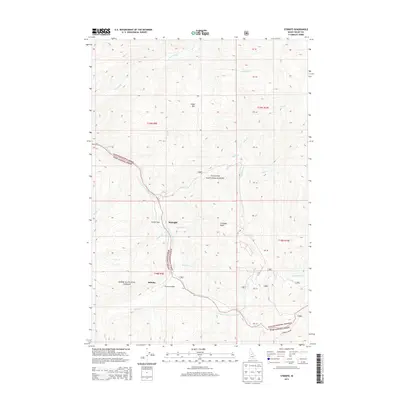
2013 Map of Stibnite
USGS Topo · Published 2013About this map
Stibnite and its surrounding mountain camps are centered in a landscape defined by the intersection of the Payette National Forest and Boise National Forest. The geography is dominated by high-altitude terrain such as Sugar Mtn and Cinnabar Peak, with the E Fork S Fork Salmon River serving as a central drainage. Small settlements and outposts like Midnight and Monday Camp are scattered along the steep creek valleys, including Midnight Cr and Fiddle Cr. This 2013 survey illustrates the remote infrastructure required for such an area, notably the Stibnite Airport and the narrow corridor of Thunder Mtn Rd. The map also documents numerous smaller waterways such as Sugar Cr, Cane Cr, and Garnet Cr, tracing the intricate drainage patterns of the Salmon River tributary system.
Find a feature on this map
37 named features on this map. Tap any name to fly to it.
Don’t see what you’re looking for? This feature index may not catch every label — zoom into the map to look around manually.
Map Details
Editions of this 2013 Stibnite Map
This is the sole edition of this map. No revisions or reprints were ever made.
Other maps of this area

1937 · Yellow Pine
USGS Topo · 1:48,000

1937 · Big Creek
USGS Topo · 1:48,000

1942 · Big Creek
USGS Topo · 1:62,500

1943 · Yellow Pine
USGS Topo · 1:62,500

1956 · Elk City
USGS Topo · 1:250,000

1957 · Challis
USGS Topo · 1:250,000

1960 · Elk City
USGS Topo · 1:250,000

1960 · Challis
USGS Topo · 1:250,000

1963 · Challis
USGS Topo · 1:250,000

1969 · Edwardsburg
USGS Topo · 1:24,000