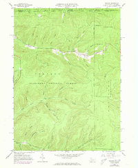
1966 Map of Stickney
USGS Topo · Published 1973About this map
Allegheny National Forest dominates this northern Pennsylvania landscape, straddling the state line where Cattaraugus and McKean Counties meet. The settlement of Stickney is the primary point of habitation, situated at the confluence of several steep valleys and a network of oil wells that underscore the region's industrial heritage. The terrain is characterized by a dense system of hollows and runs, including Schoolhouse Hollow and Mill Hollow, which suggest a history of early rural infrastructure tucked into the timbered slopes.
Find a feature on this map
38 named features on this map. Tap any name to fly to it.
Don’t see what you’re looking for? This feature index may not catch every label — zoom into the map to look around manually.
Map Details
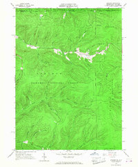
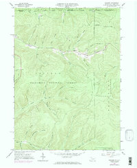
Editions of this 1966 Stickney Map
3 editions found
Other maps of this area

1900 · Salamanca
USGS Topo · 1:62,500

1922 · Randolph
USGS Topo · 1:62,500

1923 · Randolph
USGS Topo · 1:62,500

1924 · Bradford
USGS Topo · 1:62,500

1926 · Bradford
USGS Topo · 1:62,500

1936 · Kinzua
USGS Topo · 1:48,000

1938 · Salamanca
USGS Topo · 1:62,500

1941 · Kinzua
USGS Topo · 1:62,500

1941 · Bradford
USGS Topo · 1:62,500

1943 · Randolph
USGS Topo · 1:62,500