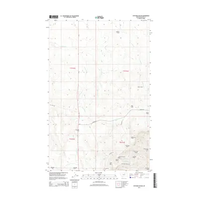
2014 Map of Stiffarm Coulee
USGS Topo · Published 2014About this map
Hays serves as a focal point in this portion of the Little Rocky Mountains, situated where the high plains meet the dramatic rises of the southern Blaine County landscape. The topography here is defined by significant elevation changes, from the alluvial plains of the north to the deeply incised canyons and coulees that characterize the southern section of the quadrangle. This area reflects a traditional mountain-front settlement pattern, where water and passage are dictated by the natural drainages cutting through the limestone and igneous formations of the region.
Find a feature on this map
1 named feature on this map. Tap any name to fly to it.
Don’t see what you’re looking for? This feature index may not catch every label — zoom into the map to look around manually.
Map Details
Editions of this 2014 Stiffarm Coulee Map
This is the sole edition of this map. No revisions or reprints were ever made.
Other maps of this area

1943 · Landusky
USGS Topo · 1:125,000

1953 · Havre
USGS Topo · 1:250,000

1954 · Lewistown
USGS Topo · 1:250,000

1957 · Havre
USGS Topo · 1:250,000

1958 · Havre
USGS Topo · 1:250,000

1959 · Lewistown
USGS Topo · 1:250,000

1971 · Crazyman Coulee
USGS Topo · 1:24,000

1971 · Hays
USGS Topo · 1:24,000

1971 · Lodge Pole NW
USGS Topo · 1:24,000

1971 · Lodge Pole NE
USGS Topo · 1:24,000