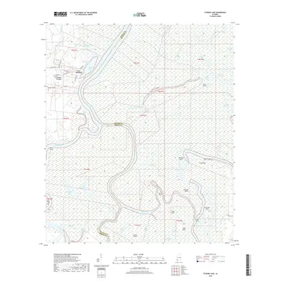
2018 Map of Stiggins Lake
USGS Topo · Published 2018About this map
Mount Vernon stands at the edge of a complex riverine system where the Mobile River and Tensaw River weave through a network of islands and sloughs. This landscape is defined by the shifting waters of the Alabama delta, featuring numerous named water bodies like Stiggins Lake, Big Chippewa Lake, and David Lake. The map reveals the historical imprint of Fort Stoddard near the riverbanks, a site of significance in early Alabama frontier history.
Find a feature on this map
62 named features on this map. Tap any name to fly to it.
Don’t see what you’re looking for? This feature index may not catch every label — zoom into the map to look around manually.
Map Details
Editions of this 2018 Stiggins Lake Map
This is the sole edition of this map. No revisions or reprints were ever made.
Other maps of this area

1941 · Bay Minette
USGS Topo · 1:62,500

1941 · Creola
USGS Topo · 1:62,500

1943 · Creola
USGS Topo · 1:62,500

1943 · Bay Minette
USGS Topo · 1:62,500

1943 · Tensaw
USGS Topo · 1:62,500

1943 · Citronelle
USGS Topo · 1:62,500

1944 · Tensaw
USGS Topo · 1:62,500

1946 · Citronelle
USGS Topo · 1:62,500

1953 · Andalusia
USGS Topo · 1:250,000

1953 · Hattiesburg
USGS Topo · 1:250,000