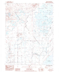
1985 Map of Stillwater
USGS Topo · Published 1985About this map
Lahonton Valley defines this high-desert landscape, where a complex network of dikes and flumes manages water across the Stillwater National Wildlife Refuge. The settlement of Stillwater sits near the Stillwater Slough, serving as a central point for the surrounding ranches and the adjacent Fallon Indian Reservation. The map reveals a land heavily shaped by irrigation and conservation efforts, characterized by numerous named water bodies such as Dutch Bill Lake, Big Cottonwood Lake, and Stillwater Point Reservoir.
Find a feature on this map
33 named features on this map. Tap any name to fly to it.
Don’t see what you’re looking for? This feature index may not catch every label — zoom into the map to look around manually.
Map Details
Editions of this 1985 Stillwater Map
This is the sole edition of this map. No revisions or reprints were ever made.
Other maps of this area

1908 · Carson Sink
USGS Topo · 1:250,000

1910 · Carson Sink
USGS Topo · 1:250,000

1950 · Stillwater
USGS Topo · 1:62,500

1951 · Carson Lake
USGS Topo · 1:62,500

1957 · Reno
USGS Topo · 1:250,000

1959 · Reno
USGS Topo · 1:250,000

1960 · Reno
USGS Topo · 1:250,000

1969 · Pintail Bay
USGS Topo · 1:24,000

1969 · Foxtail Lake
USGS Topo · 1:24,000

1972 · Diamond Canyon
USGS Topo · 1:24,000