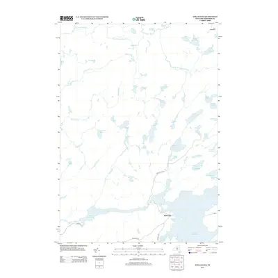
2013 Map of Stillwater
USGS Topo · Published 2013About this map
The Adirondack wilderness in Herkimer County defines this landscape, where the settlement of Stillwater sits at the convergence of vital waterways and forest roads. This 2013 survey documents a complex lacustrine environment dominated by the Stillwater Reservoir and Moshier Reservoir in the southern portion of the quadrangle. A dense network of glacial ponds and wetlands, including Pepperbox Pond, Sunshine Pond, and Huckleberry Pond, characterizes the central terrain. The hydrology is anchored by the W Br Oswegatchie River and Middle Br Oswegatchie River, which drain the northern reaches near Sitz Mountain. Access to these remote timberlands is maintained via a few key corridors such as Number Four Rd and Necessary Dam Rd, reflecting the area's ongoing management as a protected water and forest resource.
Find a feature on this map
48 named features on this map. Tap any name to fly to it.
Don’t see what you’re looking for? This feature index may not catch every label — zoom into the map to look around manually.
Map Details
Editions of this 2013 Stillwater Map
This is the sole edition of this map. No revisions or reprints were ever made.
Other maps of this area

1903 · Big Moose
USGS Topo · 1:62,500

1912 · Number Four
USGS Topo · 1:62,500

1915 · Number Four
USGS Topo · 1:62,500

1916 · Oswegatchie
USGS Topo · 1:62,500

1918 · Oswegatchie
USGS Topo · 1:62,500

1919 · Cranberry Lake
USGS Topo · 1:62,500

1921 · Cranberry Lake
USGS Topo · 1:62,500

1931 · Cranberry Lake
USGS Topo · 1:62,500

1948 · Ogdensburg
USGS Topo · 1:250,000

1950 · Utica
USGS Topo · 1:250,000