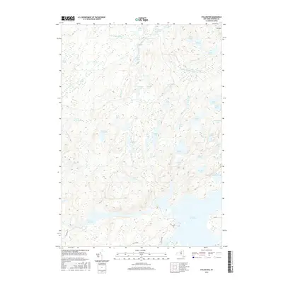
2016 Map of Stillwater
USGS Topo · Published 2016About this map
Stillwater Reservoir dominates the southern landscape of this 2016 survey, serving as a focal point for the complex hydrography of the Adirondack wilderness. The terrain is defined by an intricate network of glacial ponds and wetlands, including clusters such as Moshier Ponds, Twin Ponds, and the Upper S Pond chain. Higher elevations are marked by features like Sitz Mtn, which overlooks a dense collection of smaller water bodies such as Brindle Pond and Grassy Pond.
Find a feature on this map
44 named features on this map. Tap any name to fly to it.
Don’t see what you’re looking for? This feature index may not catch every label — zoom into the map to look around manually.
Map Details
Editions of this 2016 Stillwater Map
This is the sole edition of this map. No revisions or reprints were ever made.
Other maps of this area

1903 · Big Moose
USGS Topo · 1:62,500

1912 · Number Four
USGS Topo · 1:62,500

1915 · Number Four
USGS Topo · 1:62,500

1916 · Oswegatchie
USGS Topo · 1:62,500

1918 · Oswegatchie
USGS Topo · 1:62,500

1919 · Cranberry Lake
USGS Topo · 1:62,500

1921 · Cranberry Lake
USGS Topo · 1:62,500

1931 · Cranberry Lake
USGS Topo · 1:62,500

1948 · Ogdensburg
USGS Topo · 1:250,000

1950 · Utica
USGS Topo · 1:250,000