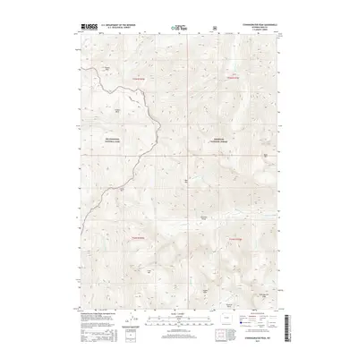
2015 Map of Stinkingwater Peak
USGS Topo · Published 2015About this map
Yellowstone National Park and the Shoshone National Forest converge in this high-elevation region of the Absaroka Range. The landscape is defined by its dramatic verticality, peaking at Stinkingwater Peak and Hoodoo Peak. This terrain dictates the drainage patterns of the Lamar River and the N Fork Shoshone River, which are fed by numerous high-altitude basins like Hoodoo Basin and Silvertip Basin. The inclusion of the Hoodoo Basin Trail highlights the importance of historic transit routes through these mountain passes, providing access to landmarks such as Lamar Mtn and Dike Mtn. The detailed hydrography of creeks like Sunlight Cr and Copper Cr illustrates the complex watershed that defines the eastern edge of the park.
Find a feature on this map
27 named features on this map. Tap any name to fly to it.
Don’t see what you’re looking for? This feature index may not catch every label — zoom into the map to look around manually.
Map Details
Editions of this 2015 Stinkingwater Peak Map
This is the sole edition of this map. No revisions or reprints were ever made.
Other maps of this area

1896 · Crandall Creek
USGS Topo · 1:125,000

1899 · Crandall
USGS Topo · 1:125,000

1955 · Cody
USGS Topo · 1:250,000

1956 · Sunlight Peak
USGS Topo · 1:62,500

1956 · Beartooth Butte
USGS Topo · 1:62,500

1956 · Pilot Peak
USGS Topo · 1:62,500

1956 · Dead Indian Peak
USGS Topo · 1:62,500

1958 · Cody
USGS Topo · 1:250,000

1962 · Cody
USGS Topo · 1:250,000

1980 · Cody
USGS Topo · 1:100,000