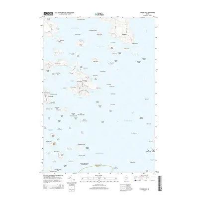
2014 Map of Stinson Neck
USGS Topo · Published 2014About this map
Stinson Neck and the surrounding islands of eastern Penobscot Bay are characterized by a intricate coastline of coves and granite ledges. Along the western shore of Eggemoggin Reach, small settlements like Sunshine and Naskeag serve as focal points for this coastal landscape. The map details the transition from the sheltered waters of Billings Cove and Mud Cove to the open expanse of Jericho Bay and the Atlantic Ocean.
Find a feature on this map
125 named features on this map. Tap any name to fly to it.
Don’t see what you’re looking for? This feature index may not catch every label — zoom into the map to look around manually.
Map Details
Editions of this 2014 Stinson Neck Map
This is the sole edition of this map. No revisions or reprints were ever made.
Other maps of this area
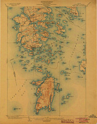
1904 · Deer Isle
USGS Topo · 1:62,500
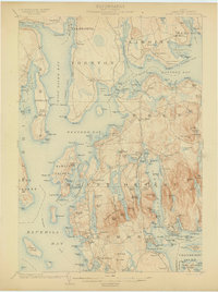
1904 · Mount Desert
USGS Topo · 1:62,500
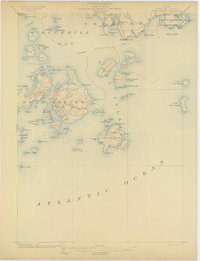
1904 · Swan Island
USGS Topo · 1:62,500
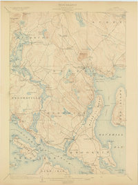
1904 · Bluehill
USGS Topo · 1:62,500

1905 · Penobscot Bay
USGS Topo · 1:125,000
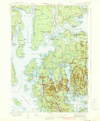
1942 · Mount Desert
USGS Topo · 1:62,500
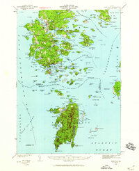
1942 · Deer Isle
USGS Topo · 1:62,500
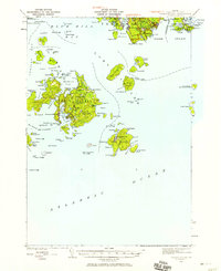
1943 · Swans Island
USGS Topo · 1:62,500
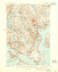
1944 · Blue Hill
USGS Topo · 1:62,500
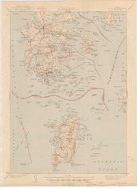
1944 · Deer Isle
USGS Topo · 1:62,500