
1957 Map of Stirum
USGS Topo · Published 1958About this map
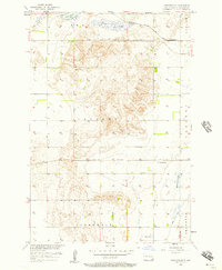
Stirum sits at the heart of this prairie landscape, serving as a vital rail point along the Northern Pacific railroad in the late 1950s. This survey, conducted as part of the Department of the Interior program for the development of the Missouri River Basin, reveals a highly organized rural infrastructure dominated by the township system of Vivian, Harlem, and Bowes. The terrain is defined by glacial features like Whitestone Hill and the watery expanse of Big Slough, which stand in contrast to the rigid grid of section lines and country roads.
Find a feature on this map
11 named features on this map. Tap any name to fly to it.
Don’t see what you’re looking for? This feature index may not catch every label — zoom into the map to look around manually.
Map Details
Editions of this 1957 Stirum Map
This is the sole edition of this map. No revisions or reprints were ever made.
Other maps of this area

1952 · Crete
USGS Topo · 1:24,000

1953 · Fargo
USGS Topo · 1:250,000

1956 · Fargo
USGS Topo · 1:250,000
1956 · Straubville
USGS Topo · 1:24,000

1957 · Elliott SW
USGS Topo · 1:24,000

1957 · Cogswell
USGS Topo · 1:24,000

1957 · Elliott SE
USGS Topo · 1:24,000
1958 · Forman
USGS Topo · 1:24,000

1962 · Lisbon SW
USGS Topo · 1:24,000
1962 · Gwinner
USGS Topo · 1:24,000