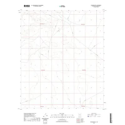
2020 Map of Stockard Well
USGS Topo · Published 2020About this map
The Sacramento River meanders through the northern reaches of this Otero County landscape, providing a vital water source in an area defined by its drainage patterns and township boundaries. This 2020 survey highlights the rural infrastructure of the region, where a network of county roads including Co Rd F052 and Co Rd E047 provide access across the high desert terrain. The map meticulously delineates township lines such as t23s r13e and t23s r14e, serving as a foundational record for land management and property research. These established routes, including Co Rd F048 and Co Rd F001, trace the movement of people and resources through the open country south of the Sacramento drainage, offering researchers a clear view of the modern road network in this part of New Mexico.
Find a feature on this map
15 named features on this map. Tap any name to fly to it.
Don’t see what you’re looking for? This feature index may not catch every label — zoom into the map to look around manually.
Map Details
Editions of this 2020 Stockard Well Map
This is the sole edition of this map. No revisions or reprints were ever made.
Other maps of this area

1954 · Carlsbad
USGS Topo · 1:250,000

1958 · Carlsbad
USGS Topo · 1:250,000

1959 · Alamo Mountain
USGS Topo · 1:62,500

1963 · Indian Draw
USGS Topo · 1:24,000

1963 · Cleones Tank
USGS Topo · 1:24,000

1970 · Shiloh Hills
USGS Topo · 1:24,000

1975 · Alamo Mountain NE
USGS Topo · 1:24,000
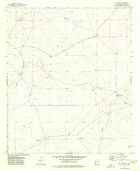
1975 · B T Ranch
USGS Topo · 1:24,000

1979 · Crow Flats
USGS Topo · 1:100,000
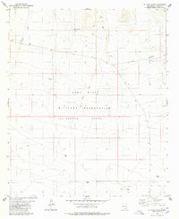
1980 · El Paso Draw
USGS Topo · 1:24,000