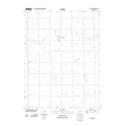
2011 Map of Stockham
USGS Topo · Published 2011About this map
Stockham serves as the central hub for this portion of Clay County, situated along a bend in the West Fork Big Blue River. The landscape is dominated by a grid of agricultural section roads including N Stockham Rd and Road 325, illustrating the enduring pattern of Great Plains land division. To the southwest, the community of Eldorado sits near the junction of the North Branch West Fork Big Blue River, while the Stockham Cemetery provides a primary point of interest for those tracing family history in the township. Water management in the area is represented by the Nuss Reservoir and Nuss Dam, which collect runoff from the surrounding prairie. This 2011 survey captures the region's character as a stable farming landscape, defined more by its creek drainage and section lines than by industrial expansion.
Find a feature on this map
29 named features on this map. Tap any name to fly to it.
Don’t see what you’re looking for? This feature index may not catch every label — zoom into the map to look around manually.
Map Details
Editions of this 2011 Stockham Map
This is the sole edition of this map. No revisions or reprints were ever made.
Other maps of this area

1898 · York
USGS Topo · 1:125,000

1898 · Grand Island
USGS Topo · 1:125,000

1899 · York
USGS Topo · 1:125,000

1955 · Lincoln
USGS Topo · 1:250,000

1955 · Grand Island
USGS Topo · 1:250,000

1957 · Lincoln
USGS Topo · 1:250,000

1957 · Grand Island
USGS Topo · 1:250,000

1958 · Grand Island
USGS Topo · 1:250,000

1958 · Lincoln
USGS Topo · 1:250,000
1968 · Aurora West
USGS Topo · 1:24,000