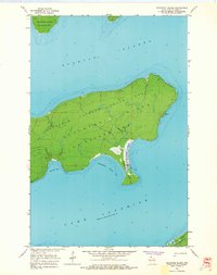
1963 Map of Stockton Island
USGS Topo · Published 1965About this map
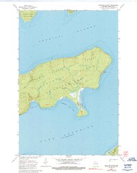
Stockton Island dominates this mid-century survey of the Apostle Islands in Lake Superior. The landscape is largely defined by the Apostle Islands State Forest, showing a network of inland trails and the distinct coastal topography of the region. A notable industrial marker is found at Quarry Bay, where the namesake Quarry indicates the historical extraction of local stone. The map detail extends to surrounding landmasses including Ironwood Island, Cat Island, and the northern tip of Michigan Island. Natural landmarks like Balancing Rock and the prominent Presque Isle Point highlight the island's unique geological features. This documentation by the U.S. Geological Survey reflects the area's transition towards conservation and recreational use within La Pointe Twp prior to the formal establishment of the National Lakeshore.
Find a feature on this map
15 named features on this map. Tap any name to fly to it.
Don’t see what you’re looking for? This feature index may not catch every label — zoom into the map to look around manually.
Map Details
Editions of this 1963 Stockton Island Map
2 editions found
Other maps of this area

1953 · Ashland
USGS Topo · 1:250,000

1954 · Two Harbors
USGS Topo · 1:250,000

1957 · Two Harbors
USGS Topo · 1:250,000

1958 · Ashland
USGS Topo · 1:250,000

1958 · Two Harbors
USGS Topo · 1:250,000
1963 · Outer Island
USGS Topo · 1:62,500

1963 · Cat Island
USGS Topo · 1:24,000

1963 · Michigan Island
USGS Topo · 1:24,000

1963 · Rocky Island
USGS Topo · 1:62,500
1963 · Outer Island
USGS Topo · 1:24,000