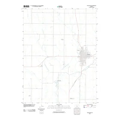
2009 Map of Stockton
USGS Topo · Published 2009About this map
The Stockton townsite sits at the intersection of a sprawling rural grid and the meandering path of the South Fork Solomon River. This 2009 survey reveals a classic Great Plains settlement pattern, where the dense residential grid of Stockton gives way to a wide landscape of named section roads such as F Rd and 19 Rd. To the south, the Rooks County State Lake Dam manages the local watershed, where Boxelder Creek and other small tributaries like Ash Creek feed into the river valley.
Find a feature on this map
38 named features on this map. Tap any name to fly to it.
Don’t see what you’re looking for? This feature index may not catch every label — zoom into the map to look around manually.
Map Details
Editions of this 2009 Stockton Map
This is the sole edition of this map. No revisions or reprints were ever made.
Other maps of this area

1893 · Phillipsburg
USGS Topo · 1:125,000

1896 · Plainville
USGS Topo · 1:125,000

1952 · Webster Dam
USGS Topo · 1:24,000

1953 · Woodston NW
USGS Topo · 1:24,000

1953 · Stockton
USGS Topo · 1:24,000

1955 · Beloit
USGS Topo · 1:250,000

1959 · Beloit
USGS Topo · 1:250,000

1961 · Kirwin SW
USGS Topo · 1:24,000

1969 · Stockton SW
USGS Topo · 1:24,000

1972 · Glade SW
USGS Topo · 1:24,000