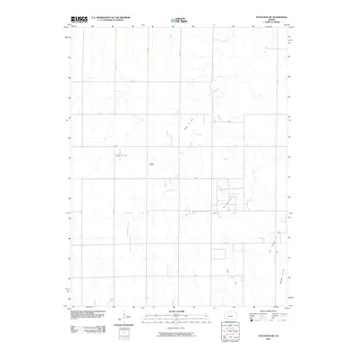
2010 Map of Stockton SW
USGS Topo · Published 2010About this map
Eureka Cemetery serves as a quiet landmark amidst the rural landscape of Rooks County, situated north of the meandering Lost Creek. The area is defined by a grid-like network of rural routes, including 9 Rd and R Rd, which connect scattered homesteads and agricultural operations. This 2010 survey reveals a landscape heavily influenced by petroleum extraction, as evidenced by several named production areas throughout the quadrangle.
Find a feature on this map
22 named features on this map. Tap any name to fly to it.
Don’t see what you’re looking for? This feature index may not catch every label — zoom into the map to look around manually.
Map Details
Editions of this 2010 Stockton SW Map
This is the sole edition of this map. No revisions or reprints were ever made.
Other maps of this area

1893 · Hill
USGS Topo · 1:125,000

1896 · Plainville
USGS Topo · 1:125,000

1952 · Webster Dam
USGS Topo · 1:24,000

1953 · Stockton
USGS Topo · 1:24,000

1955 · Beloit
USGS Topo · 1:250,000

1959 · Beloit
USGS Topo · 1:250,000

1969 · Nicodemus
USGS Topo · 1:24,000

1969 · Palco
USGS Topo · 1:24,000

1969 · Stockton SW
USGS Topo · 1:24,000

1978 · Plainville
USGS Topo · 1:24,000