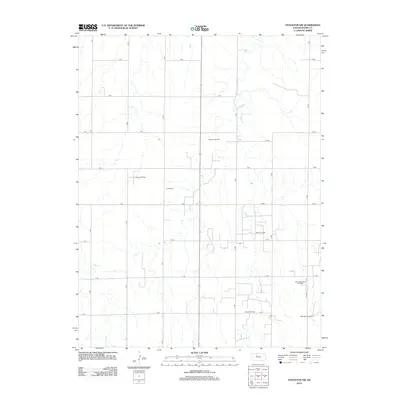
2012 Map of Stockton SW
USGS Topo · Published 2012About this map
Lost Cr meanders through this section of Rooks County, defining a landscape of agriculture and energy extraction in north-central Kansas. The terrain is crisscrossed by a rigid grid of rural roads, including 7 RD through 13 RD, which provide access to numerous petroleum operations. Distinctive industrial sites such as the Webster Oil Field, Hayden Oil Field, and Baumgarten Oil Field underscore the economic importance of the regional oil industry during the early 21st century. For local historians and genealogists, the Eureka Cem stands as a significant landmark, marking a point of community continuity amidst the active extraction fields. The map documents the persistent rural character of the High Plains, where scattered oil fields like the Jelinek Oil Field integrate into the traditional farming landscape.
Find a feature on this map
23 named features on this map. Tap any name to fly to it.
Don’t see what you’re looking for? This feature index may not catch every label — zoom into the map to look around manually.
Map Details
Editions of this 2012 Stockton SW Map
This is the sole edition of this map. No revisions or reprints were ever made.
Other maps of this area

1893 · Hill
USGS Topo · 1:125,000

1896 · Plainville
USGS Topo · 1:125,000

1952 · Webster Dam
USGS Topo · 1:24,000

1953 · Stockton
USGS Topo · 1:24,000

1955 · Beloit
USGS Topo · 1:250,000

1959 · Beloit
USGS Topo · 1:250,000

1969 · Nicodemus
USGS Topo · 1:24,000

1969 · Palco
USGS Topo · 1:24,000

1969 · Stockton SW
USGS Topo · 1:24,000

1978 · Plainville
USGS Topo · 1:24,000