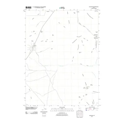
2011 Map of Stockton
USGS Topo · Published 2011About this map
The eastern foothills of the Tooele Valley reveal a landscape defined by Utah's mining history, specifically within the western slopes of the Oquirrh Mountains. The town of Stockton serves as the primary hub, situated near the Stockton Cemetery and the intersection of Hickman Rd and Route 36. The map details an extensive network of extractive operations, including the Honerine Mine, Calumet Mine, and Tip Top Mine clustered in the gulches east of the main settlement.
Find a feature on this map
57 named features on this map. Tap any name to fly to it.
Don’t see what you’re looking for? This feature index may not catch every label — zoom into the map to look around manually.
Map Details
Editions of this 2011 Stockton Map
This is the sole edition of this map. No revisions or reprints were ever made.
Other maps of this area

1885 · Tooele Valley
USGS Topo · 1:250,000

1915 · Fairfield
USGS Topo · 1:62,500

1917 · Fairfield
USGS Topo · 1:62,500

1918 · Stockton
USGS Topo · 1:62,500

1952 · Bingham Canyon
USGS Topo · 1:24,000

1953 · Tooele
USGS Topo · 1:250,000

1955 · Grantsville
USGS Topo · 1:24,000

1955 · Stockton
USGS Topo · 1:62,500

1955 · Tooele
USGS Topo · 1:250,000

1955 · Tooele
USGS Topo · 1:24,000