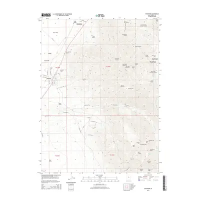
2014 Map of Stockton
USGS Topo · Published 2014About this map
Stockton occupies a strategic position at the edge of the Tooele Valley, where the steep slopes of the Oquirrh Mountains meet the basin floor. This landscape is defined by its deep canyons and mining history, evidenced by Mining Rd, Calumet Mine Rd, and Dry Canyon Mining Rd. The mountain front is carved by drainage systems like Settlement Canyon and Soldier Canyon, which funnel toward the valley.
Find a feature on this map
77 named features on this map. Tap any name to fly to it.
Don’t see what you’re looking for? This feature index may not catch every label — zoom into the map to look around manually.
Map Details
Editions of this 2014 Stockton Map
This is the sole edition of this map. No revisions or reprints were ever made.
Other maps of this area

1885 · Tooele Valley
USGS Topo · 1:250,000

1915 · Fairfield
USGS Topo · 1:62,500

1917 · Fairfield
USGS Topo · 1:62,500

1918 · Stockton
USGS Topo · 1:62,500

1952 · Bingham Canyon
USGS Topo · 1:24,000

1953 · Tooele
USGS Topo · 1:250,000

1955 · Grantsville
USGS Topo · 1:24,000

1955 · Stockton
USGS Topo · 1:62,500

1955 · Tooele
USGS Topo · 1:250,000

1955 · Tooele
USGS Topo · 1:24,000