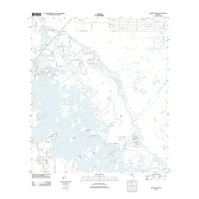
2012 Map of Stokes Ferry
USGS Topo · Published 2012About this map
Stokes Ferry anchors the northern reach of a complex aquatic landscape where the Withlacoochee river system meets the sprawling wetlands of Tsala Apopka Lake. This 2012 survey reveals a transition between rural residential development and the intricate island geography of the Florida interior. Significant landmarks include Twelve Oaks Airport and Drake Ranch Airport, which emphasize the low-density, aviation-friendly nature of the local settlements.
Find a feature on this map
95 named features on this map. Tap any name to fly to it.
Don’t see what you’re looking for? This feature index may not catch every label — zoom into the map to look around manually.
Map Details
Editions of this 2012 Stokes Ferry Map
This is the sole edition of this map. No revisions or reprints were ever made.
Other maps of this area

1892 · Dunnellon
USGS Topo · 1:62,500

1893 · Panasoffkee
USGS Topo · 1:62,500

1894 · Dunnellon
USGS Topo · 1:62,500

1895 · Tsala Apopka
USGS Topo · 1:62,500

1895 · Panasoffkee
USGS Topo · 1:62,500

1895 · Ocala
USGS Topo · 1:62,500

1954 · Lecanto
USGS Topo · 1:24,000

1954 · Holder
USGS Topo · 1:24,000

1954 · Tsala Apopka NE
USGS Topo · 1:24,000

1954 · Dunnellon
USGS Topo · 1:24,000