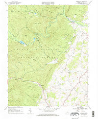
1967 Map of Stokesville
USGS Topo · Published 1968About this map
Stokesville sits at the eastern edge of the George Washington National Forest in this late-1960s survey of western Augusta County. The landscape is defined by the steep ridges of Lookout Mountain and Trimble Mountain, where infrastructure like the Staunton Dam and North River Campground supported regional water management and outdoor recreation. The topographic detail follows the drainage of the North River and Little River as they emerge from the mountain gaps into the valley floor near the settlement of Stover.
Find a feature on this map
64 named features on this map. Tap any name to fly to it.
Don’t see what you’re looking for? This feature index may not catch every label — zoom into the map to look around manually.
Map Details
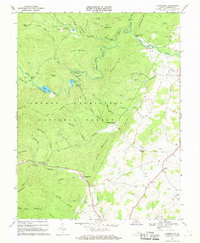
Editions of this 1967 Stokesville Map
2 editions found
Other maps of this area

1894 · Staunton
USGS Topo · 1:125,000

1924 · Mc Dowell
USGS Topo · 1:62,500

1943 · Craigsville
USGS Topo · 1:62,500

1944 · Parnassus
USGS Topo · 1:62,500

1944 · Mc Dowell
USGS Topo · 1:62,500

1944 · Staunton
USGS Topo · 1:62,500

1945 · Craigsville
USGS Topo · 1:62,500

1946 · Mc Dowell
USGS Topo · 1:62,500

1947 · Staunton
USGS Topo · 1:62,500

1947 · Parnassus
USGS Topo · 1:62,500