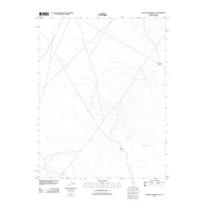
2012 Map of Stone Cabin Ranch SE
USGS Topo · Published 2012About this map
Bellehelen Canyon and the surrounding high desert of Nye County characterize this 2012 survey. The landscape is defined by its drainage patterns and water sources, such as Willow Creek and the vital desert water of Haus Canyon Spring. These features suggest a topography where water sources dictate both natural movement and historical land use. The presence of Haus Canyon Spring Number One and the rugged walls of Haws Canyon provide clear markers for navigating this corner of the Great Basin. This map records the essential geography of the Stone Cabin Ranch area, showing the network of local roads and unimproved trails that connect these isolated springs and canyons.
Find a feature on this map
5 named features on this map. Tap any name to fly to it.
Don’t see what you’re looking for? This feature index may not catch every label — zoom into the map to look around manually.
Map Details
Editions of this 2012 Stone Cabin Ranch SE Map
This is the sole edition of this map. No revisions or reprints were ever made.
Other maps of this area

1908 · Kawich
USGS Topo · 1:250,000

1942 · Cactus Range
USGS Topo · 1:125,000

1942 · Reveille Peak
USGS Topo · 1:125,000

1952 · Stinking Spring
USGS Topo · 1:62,500

1952 · Kawich Peak
USGS Topo · 1:62,500

1954 · Goldfield
USGS Topo · 1:250,000

1955 · Goldfield
USGS Topo · 1:250,000

1956 · Tonopah
USGS Topo · 1:250,000

1958 · Goldfield
USGS Topo · 1:250,000

1959 · Tonopah
USGS Topo · 1:250,000