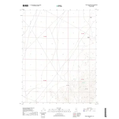
2018 Map of Stone Cabin Ranch SE
USGS Topo · Published 2018About this map
Kawich Range peaks dominate the southeastern corner of this arid landscape, where the high desert terrain transitions into the expanse of the Ralston Desert to the north. This high-altitude Nevada environment is defined by its vital water sources, most notably Haws Canyon Spring and Haws Canyon Spring Number One, which provide essential moisture in an otherwise parched drainage system. The network of canyons, including the prominent Haws Canyon and the northern Bellehelen Canyon, reveals a complex topography shaped by intermittent water flow, such as that found at Willow Cr. This 2018 survey illustrates the sparse, undeveloped nature of Nye County, where geographic features and township boundaries like t3n r48e and t2n r49e are the primary landmarks in a region largely defined by its natural topography.
Find a feature on this map
11 named features on this map. Tap any name to fly to it.
Don’t see what you’re looking for? This feature index may not catch every label — zoom into the map to look around manually.
Map Details
Editions of this 2018 Stone Cabin Ranch SE Map
This is the sole edition of this map. No revisions or reprints were ever made.
Other maps of this area

1908 · Kawich
USGS Topo · 1:250,000

1942 · Cactus Range
USGS Topo · 1:125,000

1942 · Reveille Peak
USGS Topo · 1:125,000

1952 · Stinking Spring
USGS Topo · 1:62,500

1952 · Kawich Peak
USGS Topo · 1:62,500

1954 · Goldfield
USGS Topo · 1:250,000

1955 · Goldfield
USGS Topo · 1:250,000

1956 · Tonopah
USGS Topo · 1:250,000

1958 · Goldfield
USGS Topo · 1:250,000

1959 · Tonopah
USGS Topo · 1:250,000