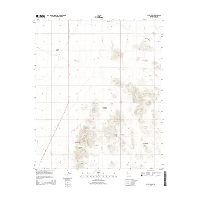
2014 Map of Stone Cabin
USGS Topo · Published 2014About this map
Stone Cabin sits along the western edge of this desert landscape, positioned where the La Posa Plain meets the rising terrain of the Castle Dome Mountains. This 2014 survey documents a region defined by arid water management and topographical landmarks, including the Hidden Valley Tanks and the seasonal drainage of Tyson Wash. The map reveals the intricate drainage patterns flowing from the eastern heights toward the valley floor, highlighting natural formations such as High Peak and the Natural Arch. Transportation through this isolated section of Yuma County is centered on Us-95, supplemented by desert tracks like Cibola RD and King RD. The area's character is shaped by these sparse desert outposts and the rugged outcrops of the Hidden Valley Hills, providing a detailed look at the geographic features and water sources essential for desert travel and survival in this corner of the Arizona desert.
Find a feature on this map
16 named features on this map. Tap any name to fly to it.
Don’t see what you’re looking for? This feature index may not catch every label — zoom into the map to look around manually.
Map Details
Editions of this 2014 Stone Cabin Map
This is the sole edition of this map. No revisions or reprints were ever made.
Other maps of this area

1934 · Trigo Peaks
USGS Topo · 1:48,000

1939 · Red Hill
USGS Topo · 1:62,500

1939 · Trigo Peaks
USGS Topo · 1:62,500

1942 · Blythe
USGS Topo · 1:250,000

1954 · Salton Sea
USGS Topo · 1:250,000

1954 · Red Hill
USGS Topo · 1:62,500

1954 · Trigo Peaks
USGS Topo · 1:62,500

1955 · Salton Sea
USGS Topo · 1:250,000

1959 · Salton Sea
USGS Topo · 1:250,000
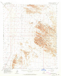
1962 · Livingston Hills
USGS Topo · 1:62,500