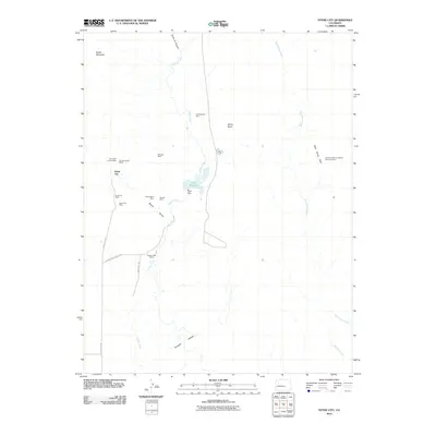
2010 Map of Stone City
USGS Topo · Published 2010About this map
Stone City and its surrounding canyonlands reveal a legacy of early 21st-century resource extraction and rugged high-desert ranching. The landscape is defined by a dense concentration of named workings, including the Dry Creek Canyon Mine, Spring Canyon Mines, and the Snowdon Mine, clustered near the drainage of Booth Gulch. This area's industrial character is balanced by the water management infrastructure of Teller Reservoir and Teller Dam, which serve as a critical oasis in an otherwise arid terrain dominated by landmarks like Booth Mountain and White Butte.
Find a feature on this map
26 named features on this map. Tap any name to fly to it.
Don’t see what you’re looking for? This feature index may not catch every label — zoom into the map to look around manually.
Map Details
Editions of this 2010 Stone City Map
This is the sole edition of this map. No revisions or reprints were ever made.
Other maps of this area

1891 · Pueblo
USGS Topo · 1:125,000

1893 · Colorado Springs
USGS Topo · 1:125,000

1894 · Pueblo
USGS Topo · 1:125,000

1896 · Pueblo
USGS Topo · 1:125,000

1897 · Pueblo
USGS Topo · 1:125,000

1909 · Colorado Springs
USGS Topo · 1:125,000

1942 · Colorado Springs
USGS Topo · 1:125,000

1948 · Mount Pittsburg
USGS Topo · 1:24,000

1948 · Timber Mountain
USGS Topo · 1:24,000
1948 · Mount Big Chief
USGS Topo · 1:62,500