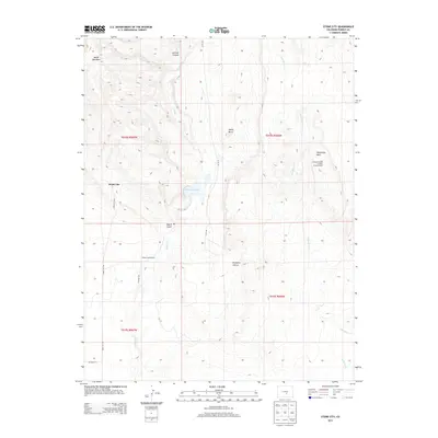
2013 Map of Stone City
USGS Topo · Published 2013About this map
Stone City and its surrounding canyonlands are the focus of this 2013 survey, which documents the complex topography of northern Pueblo County. The settlement lies at the base of Booth Mountain, where the high desert terrain is deeply incised by drainages like Turkey Cr and Wild Horse Cr. This specific area has long served as an educational landscape, highlighted by the presence of the Colorado School of Mines Summer Camp situated near Wild Horse Park.
Find a feature on this map
20 named features on this map. Tap any name to fly to it.
Don’t see what you’re looking for? This feature index may not catch every label — zoom into the map to look around manually.
Map Details
Editions of this 2013 Stone City Map
This is the sole edition of this map. No revisions or reprints were ever made.
Other maps of this area

1891 · Pueblo
USGS Topo · 1:125,000

1893 · Colorado Springs
USGS Topo · 1:125,000

1894 · Pueblo
USGS Topo · 1:125,000

1896 · Pueblo
USGS Topo · 1:125,000

1897 · Pueblo
USGS Topo · 1:125,000

1909 · Colorado Springs
USGS Topo · 1:125,000

1942 · Colorado Springs
USGS Topo · 1:125,000

1948 · Mount Pittsburg
USGS Topo · 1:24,000

1948 · Timber Mountain
USGS Topo · 1:24,000
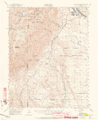
1948 · Mount Big Chief
USGS Topo · 1:62,500