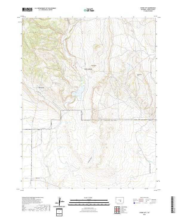
2022 Map of Stone City
USGS Topo · Published 2022About this map
Stone City lies at the western edge of this landscape, situated along the base of Booth Mtn where the terrain descends into Booth Gulch. The area's water management and natural drainage are defined by Teller Reservoir and a network of seasonal streams, including Turkey Cr and Wild Horse Cr. The settlement patterns here are dictated by the rugged topography of the Colorado high plains, with roads like Stone City Rd and Lytle Rd following the natural contours of the land. Significant geological landmarks such as White Butte and Wild Horse Park provide clear points of reference for those studying the local geography. Further south, Pumpkin Hollow and Williams Cr illustrate the drainage system that characterizes this portion of Pueblo County, offering a detailed view of the rural infrastructure and land divisions.
Find a feature on this map
20 named features on this map. Tap any name to fly to it.
Don’t see what you’re looking for? This feature index may not catch every label — zoom into the map to look around manually.
Map Details
Editions of this 2022 Stone City Map
This is the sole edition of this map. No revisions or reprints were ever made.
Other maps of this area

1891 · Pueblo
USGS Topo · 1:125,000

1893 · Colorado Springs
USGS Topo · 1:125,000

1894 · Pueblo
USGS Topo · 1:125,000

1896 · Pueblo
USGS Topo · 1:125,000

1897 · Pueblo
USGS Topo · 1:125,000

1909 · Colorado Springs
USGS Topo · 1:125,000

1942 · Colorado Springs
USGS Topo · 1:125,000

1948 · Mount Pittsburg
USGS Topo · 1:24,000

1948 · Timber Mountain
USGS Topo · 1:24,000
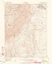
1948 · Mount Big Chief
USGS Topo · 1:62,500