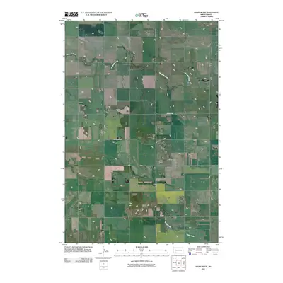
2011 Map of Stony Butte
USGS Topo · Published 2011About this map
Stony Butte and Pearl Butte rise from the prairie landscape of Hettinger County, marking a terrain defined by intermittent drainage and rural arterial routes. This 2011 survey by the U.S. Geological Survey shows a network of local roads such as Michael's Rd and Bomber Club Rd that connect the high points of the plains. Waterways including Thirtymile Creek and Spring Creek wind through the region, following the natural contours of the land between the major buttes. The inclusion of the Enchanted Hwy reflects a unique cultural landscape, as this north-south route is known for its large-scale folk art sculptures that dot the prairie, though the map focuses on the physical topography and road infrastructure of this agricultural area.
Find a feature on this map
8 named features on this map. Tap any name to fly to it.
Don’t see what you’re looking for? This feature index may not catch every label — zoom into the map to look around manually.
Map Details
Editions of this 2011 Stony Butte Map
This is the sole edition of this map. No revisions or reprints were ever made.
Other maps of this area

1953 · Dickinson
USGS Topo · 1:250,000

1957 · Dickinson
USGS Topo · 1:250,000

1960 · White Butte West
USGS Topo · 1:24,000

1960 · White Butte NW
USGS Topo · 1:24,000

1966 · Mott NW
USGS Topo · 1:24,000

1966 · Regent
USGS Topo · 1:24,000

1973 · Lefor NW
USGS Topo · 1:24,000

1973 · Lefor
USGS Topo · 1:24,000

1973 · Lefor SW
USGS Topo · 1:24,000

1973 · Stony Butte
USGS Topo · 1:24,000