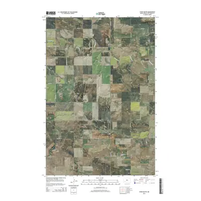
2014 Map of Stony Butte
USGS Topo · Published 2014About this map
Stony Butte and the surrounding high ground of Hettinger County define this section of the North Dakota plains during the early twenty-first century. The landscape is characterized by prominent landforms such as Black Butte and Pearl Butte, which rise above a network of seasonal drainages including Thirtymile Cr in the north and Spring Cr to the south. This era shows a strictly organized section-line road system, with a grid of rural routes like 102nd Ave SW and 60th St SW providing access to this agricultural region. The map reveals the persistent geography of the Great Plains, where the terrain dictates the path of local waterways and the placement of high-point landmarks that have likely served as navigational aids for generations.
Find a feature on this map
19 named features on this map. Tap any name to fly to it.
Don’t see what you’re looking for? This feature index may not catch every label — zoom into the map to look around manually.
Map Details
Editions of this 2014 Stony Butte Map
This is the sole edition of this map. No revisions or reprints were ever made.
Other maps of this area

1953 · Dickinson
USGS Topo · 1:250,000

1957 · Dickinson
USGS Topo · 1:250,000

1960 · White Butte West
USGS Topo · 1:24,000

1960 · White Butte NW
USGS Topo · 1:24,000

1966 · Mott NW
USGS Topo · 1:24,000

1966 · Regent
USGS Topo · 1:24,000

1973 · Lefor NW
USGS Topo · 1:24,000

1973 · Lefor
USGS Topo · 1:24,000

1973 · Lefor SW
USGS Topo · 1:24,000

1973 · Stony Butte
USGS Topo · 1:24,000