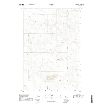
2020 Map of Stony Butte
USGS Topo · Published 2020About this map
Zion-German Lutheran Cem stands as a focal point for family history in this corner of Hettinger County, marking the cultural heritage of the early agricultural community. The landscape is defined by its distinct landforms, most notably Stony Butte, Pearl Butte, and the prominent Black Butte, which rise above the surrounding plains. The drainage patterns of Thirtymile Cr and Spring Cr navigate the terrain, reflecting the fundamental relationship between water and the viability of these prairie lands. Local infrastructure follows a rigid section-line grid, including thoroughfares like St Michael's Rd and Bomber Club Rd. This survey demonstrates the persistence of historical land divisions, tracing the boundaries of T136N R95W and its neighbors, which have shaped the settlement patterns of western North Dakota for over a century.
Find a feature on this map
20 named features on this map. Tap any name to fly to it.
Don’t see what you’re looking for? This feature index may not catch every label — zoom into the map to look around manually.
Map Details
Editions of this 2020 Stony Butte Map
This is the sole edition of this map. No revisions or reprints were ever made.
Other maps of this area

1953 · Dickinson
USGS Topo · 1:250,000

1957 · Dickinson
USGS Topo · 1:250,000

1960 · White Butte West
USGS Topo · 1:24,000

1960 · White Butte NW
USGS Topo · 1:24,000

1966 · Mott NW
USGS Topo · 1:24,000

1966 · Regent
USGS Topo · 1:24,000

1973 · Lefor NW
USGS Topo · 1:24,000

1973 · Lefor
USGS Topo · 1:24,000

1973 · Lefor SW
USGS Topo · 1:24,000

1973 · Stony Butte
USGS Topo · 1:24,000