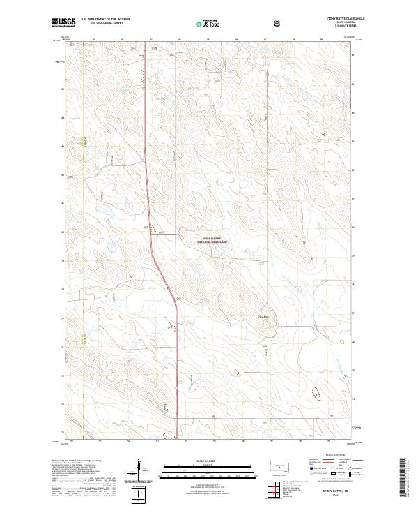
2021 Map of Stony Butte
USGS Topo · Published 2021About this map
Fort Pierre National Grassland dominates this high plains landscape on the border of Jones and Lyman counties. The topography is defined by the intermittent drainages of Stony Butte Cr and the upper reaches of Cedar Cr, which carve shallow draws across the prairie. The prominent landform of Stony Butte rises in the southeastern portion of the quadrangle, serving as a distinct navigational landmark in an area otherwise characterized by vast stretches of open range.
Find a feature on this map
14 named features on this map. Tap any name to fly to it.
Don’t see what you’re looking for? This feature index may not catch every label — zoom into the map to look around manually.
Map Details
Editions of this 2021 Stony Butte Map
This is the sole edition of this map. No revisions or reprints were ever made.
Other maps of this area

1953 · Pierre 3 NW
USGS Topo · 1:24,000

1954 · Pierre
USGS Topo · 1:250,000

1955 · Martin
USGS Topo · 1:250,000

1958 · Pierre
USGS Topo · 1:250,000

1958 · Martin
USGS Topo · 1:250,000

1967 · Ft. George Butte NW
USGS Topo · 1:24,000

1967 · Ft. George Butte SW
USGS Topo · 1:24,000

1972 · Pierre 3 SW
USGS Topo · 1:24,000

1972 · Pierre 3 SE
USGS Topo · 1:24,000

1972 · Vivian
USGS Topo · 1:24,000