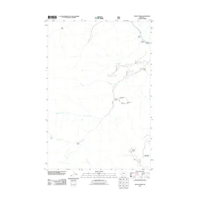
2011 Map of Stony Creek
USGS Topo · Published 2011About this map
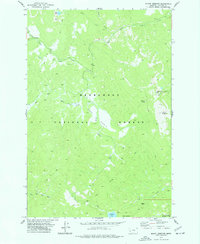
Stony Creek flows through this mountainous Ravalli County landscape, carving a path between steep gulches and providing the primary drainage for the surrounding terrain. In the northern reaches, Rock Creek meets several narrow drainages including Juno Gulch and Schively Gulch, where the historic Windlass Bridge facilitates movement across the water. The map reveals a specific history of resource extraction, clearly marking several specific claims such as the SW SE Section 36 Mine and the SE NW Section 6 Mine along the creek banks. These small-scale mining designations reflect the region's enduring connection to prospecting and mineral rights. Further south, the high-altitude Stony Lake feeds the headwaters, while the lower elevations are marked by remote county roads like Co RD 1591 and Co RD 5028, which trace the narrow valley floors near Badger Gulch and North Fork Coal Gulch.
Find a feature on this map
21 named features on this map. Tap any name to fly to it.
Don’t see what you’re looking for? This feature index may not catch every label — zoom into the map to look around manually.
Map Details
Editions of this 2011 Stony Creek Map
This is the sole edition of this map. No revisions or reprints were ever made.
Other maps of this area

1909 · Sapphire
USGS Topo · 1:125,000

1947 · Butte
USGS Topo · 1:250,000

1958 · Butte
USGS Topo · 1:250,000

1960 · Butte
USGS Topo · 1:250,000

1962 · Butte
USGS Topo · 1:250,000

1971 · Stony Creek
USGS Topo · 1:24,000
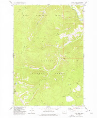
1974 · Stony Creek
USGS Topo · 1:24,000
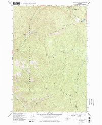
1974 · Skalkaho Pass
USGS Topo · 1:24,000
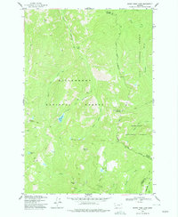
1974 · Burnt Fork Lake
USGS Topo · 1:24,000
1974 · Mount Emerine
USGS Topo · 1:24,000