
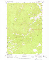
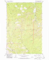
1971 Map of Stony Creek
USGS Topo · Published 1974About this map
The Continental Divide winds through this high-altitude landscape where Granite and Deer Lodge counties meet. This 1971 field-checked survey reveals a wilderness defined by glacial lakes and subalpine meadows, centered on the Anaconda-Pintlar Wilderness. The topography is marked by significant peaks like Rainbow Mountain and Kurt Peak, while the drainage basins feed remote water bodies such as Storm Lake and Upper Seymour Lake.
Find a feature on this map
38 named features on this map. Tap any name to fly to it.
Don’t see what you’re looking for? This feature index may not catch every label — zoom into the map to look around manually.
Map Details
Editions of this 1971 Stony Creek Map
This is the sole edition of this map. No revisions or reprints were ever made.
Other maps of this area

1909 · Sapphire
USGS Topo · 1:125,000

1947 · Butte
USGS Topo · 1:250,000

1958 · Butte
USGS Topo · 1:250,000

1960 · Butte
USGS Topo · 1:250,000

1962 · Butte
USGS Topo · 1:250,000
1974 · Stony Creek
USGS Topo · 1:24,000
1974 · Skalkaho Pass
USGS Topo · 1:24,000
1974 · Burnt Fork Lake
USGS Topo · 1:24,000
1974 · Mount Emerine
USGS Topo · 1:24,000
1974 · Sawmill Saddle
USGS Topo · 1:24,000