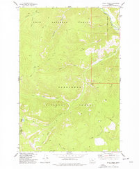
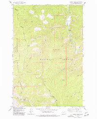
1974 Map of Stony Creek
USGS Topo · Published 1977About this map
Lolo National Forest and Deer Lodge National Forest converge in this high-elevation mountain terrain where the Granite and Ravalli County line follows the watershed. The landscape is defined by a dense network of watercourses and pack trails, centered on the drainage of Stony Creek and its many tributaries like Little Stony Creek and Schively Gulch. At the head of a trail-accessible basin lies Stony Lake, while the northeastern corner of the map features the larger Rock Creek corridor, a focal point for movement through the region. The presence of Windlass Bridge and various labeled Pack Trails and Jeep Trails reflects the mid-1970s balance of conservation and backcountry access, illustrating how these remote Montana forests were managed for wilderness and resource protection during the era.
Find a feature on this map
27 named features on this map. Tap any name to fly to it.
Don’t see what you’re looking for? This feature index may not catch every label — zoom into the map to look around manually.
Map Details
Editions of this 1974 Stony Creek Map
This is the sole edition of this map. No revisions or reprints were ever made.
Other maps of this area

1909 · Sapphire
USGS Topo · 1:125,000

1947 · Butte
USGS Topo · 1:250,000

1958 · Butte
USGS Topo · 1:250,000

1960 · Butte
USGS Topo · 1:250,000

1962 · Butte
USGS Topo · 1:250,000

1971 · Stony Creek
USGS Topo · 1:24,000
1974 · Skalkaho Pass
USGS Topo · 1:24,000
1974 · Burnt Fork Lake
USGS Topo · 1:24,000
1974 · Mount Emerine
USGS Topo · 1:24,000
1974 · Sawmill Saddle
USGS Topo · 1:24,000