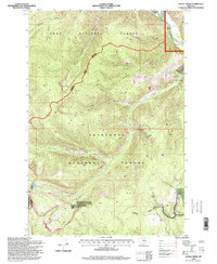
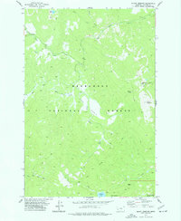
1996 Map of Stony Creek
USGS Topo · Published 1998About this map
The Skalkaho Game Preserve occupies a significant portion of this high-elevation terrain where the Lolo National Forest, Deerlodge National Forest, and Bitterroot National Forest converge. This 1996 revision documents a landscape defined by sharp drainage divides and complex hydrologic patterns, centered on the headwaters of Stony Creek. The map details a network of gulches including Wyman Gulch, Schively Gulch, and Badger Gulch that carve through the Granite County wilderness.
Find a feature on this map
23 named features on this map. Tap any name to fly to it.
Don’t see what you’re looking for? This feature index may not catch every label — zoom into the map to look around manually.
Map Details
Editions of this 1996 Stony Creek Map
This is the sole edition of this map. No revisions or reprints were ever made.
Other maps of this area

1909 · Sapphire
USGS Topo · 1:125,000

1947 · Butte
USGS Topo · 1:250,000

1958 · Butte
USGS Topo · 1:250,000

1960 · Butte
USGS Topo · 1:250,000

1962 · Butte
USGS Topo · 1:250,000

1971 · Stony Creek
USGS Topo · 1:24,000
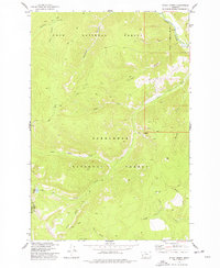
1974 · Stony Creek
USGS Topo · 1:24,000
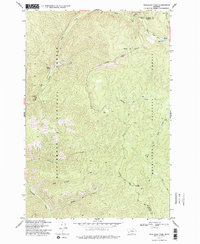
1974 · Skalkaho Pass
USGS Topo · 1:24,000
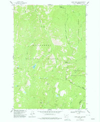
1974 · Burnt Fork Lake
USGS Topo · 1:24,000
1974 · Mount Emerine
USGS Topo · 1:24,000