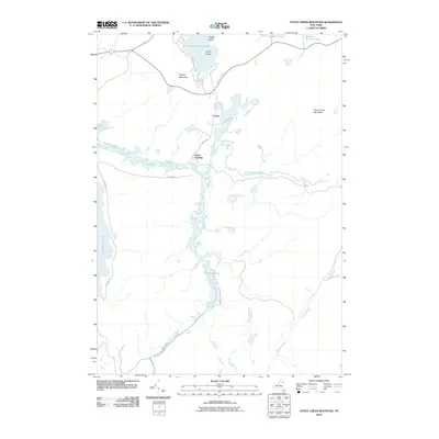
2010 Map of Stony Creek Mountain
USGS Topo · Published 2010About this map
Coreys and the river-landing at Axton Landing define the human footprint in this wilderness area of Franklin County. The landscape is dominated by the complex hydrology of the Raquette River, which meanders through wetlands and connects significant water bodies including Follensby Pond and Dawson Pond. The river's character shifts dramatically at Raquette Falls, where the Upper Falls and Lower Falls mark a significant descent in the terrain.
Find a feature on this map
21 named features on this map. Tap any name to fly to it.
Don’t see what you’re looking for? This feature index may not catch every label — zoom into the map to look around manually.
Map Details
Editions of this 2010 Stony Creek Mountain Map
This is the sole edition of this map. No revisions or reprints were ever made.
Other maps of this area

1902 · Saranac
USGS Topo · 1:62,500

1904 · Saranac
USGS Topo · 1:62,500

1904 · Santanoni
USGS Topo · 1:62,500

1904 · Long Lake
USGS Topo · 1:62,500

1905 · Saint Regis
USGS Topo · 1:62,500

1948 · Ogdensburg
USGS Topo · 1:250,000

1951 · Ogdensburg
USGS Topo · 1:250,000

1953 · Ogdensburg
USGS Topo · 1:250,000

1953 · Santanoni
USGS Topo · 1:62,500

1955 · Long Lake
USGS Topo · 1:62,500