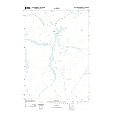
2013 Map of Stony Creek Mountain
USGS Topo · Published 2013About this map
Coreys and the historical Axton Landing define this Adirondack landscape where river systems and portage routes meet. The Raquette River winds through the center of the sheet, marked by the significant elevation changes at Raquette Falls, including both Upper Falls and Lower Falls. To the north, Middle Saranac Lake and Stony Creek Ponds are connected by the historic overland passage along Indian Carry Rd.
Find a feature on this map
26 named features on this map. Tap any name to fly to it.
Don’t see what you’re looking for? This feature index may not catch every label — zoom into the map to look around manually.
Map Details
Editions of this 2013 Stony Creek Mountain Map
This is the sole edition of this map. No revisions or reprints were ever made.
Other maps of this area

1902 · Saranac
USGS Topo · 1:62,500

1904 · Saranac
USGS Topo · 1:62,500

1904 · Santanoni
USGS Topo · 1:62,500

1904 · Long Lake
USGS Topo · 1:62,500

1905 · Saint Regis
USGS Topo · 1:62,500

1948 · Ogdensburg
USGS Topo · 1:250,000

1951 · Ogdensburg
USGS Topo · 1:250,000

1953 · Ogdensburg
USGS Topo · 1:250,000

1953 · Santanoni
USGS Topo · 1:62,500

1955 · Long Lake
USGS Topo · 1:62,500