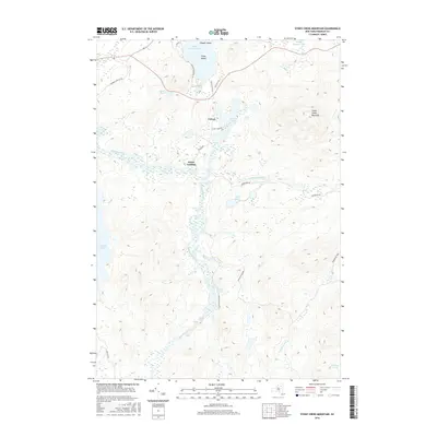
2016 Map of Stony Creek Mountain
USGS Topo · Published 2016About this map
The Raquette River winds through the heart of the Adirondack Park in this study of Harrietstown, where the waterway connects a complex network of ponds and mountains. The settlement of Coreys serves as a central point for local travel, situated near the Stony Ck Ponds and the historic portage route indicated by Indian Carry Rd. Further south, Axton Landing marks a traditional river access point, while the landscape rises sharply to the east at Stony Creek Mountain.
Find a feature on this map
29 named features on this map. Tap any name to fly to it.
Don’t see what you’re looking for? This feature index may not catch every label — zoom into the map to look around manually.
Map Details
Editions of this 2016 Stony Creek Mountain Map
This is the sole edition of this map. No revisions or reprints were ever made.
Other maps of this area

1902 · Saranac
USGS Topo · 1:62,500

1904 · Saranac
USGS Topo · 1:62,500

1904 · Santanoni
USGS Topo · 1:62,500

1904 · Long Lake
USGS Topo · 1:62,500

1905 · Saint Regis
USGS Topo · 1:62,500

1948 · Ogdensburg
USGS Topo · 1:250,000

1951 · Ogdensburg
USGS Topo · 1:250,000

1953 · Ogdensburg
USGS Topo · 1:250,000

1953 · Santanoni
USGS Topo · 1:62,500

1955 · Long Lake
USGS Topo · 1:62,500