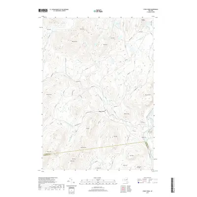
2019 Map of Stony Creek
USGS Topo · Published 2019About this map
The settlement of Stony Creek serves as a central point in this southern Adirondack landscape, where the Stony Cr and its many tributaries flow toward the Hudson River. The terrain is defined by a dense network of peaks including Moose Mtn, Baldhead Mtn, and Hadley Mtn, with the latter marking the high ground near the Warren and Saratoga county line. This 2019 survey documents a landscape of scattered ponds and named brooks that speak to the region’s hydrology and local history, such as Kenyontown Cr and the numerically named Number Nine Pond. Roads like Harrisburg Rd and Wolf Pond Rd wind through the valleys, connecting isolated landmarks like Cave Knoll and Bear Pond across the complex topography of Walnut Ridge and Deer Leap Mtn.
Find a feature on this map
76 named features on this map. Tap any name to fly to it.
Don’t see what you’re looking for? This feature index may not catch every label — zoom into the map to look around manually.
Map Details
Editions of this 2019 Stony Creek Map
This is the sole edition of this map. No revisions or reprints were ever made.
Other maps of this area

1895 · North Creek
USGS Topo · 1:62,500

1897 · North Creek
USGS Topo · 1:62,500

1898 · Thirteenth Lake
USGS Topo · 1:62,500

1903 · Luzerne
USGS Topo · 1:62,500

1910 · Stony Creek
USGS Topo · 1:62,500

1950 · Glens Falls
USGS Topo · 1:250,000

1950 · Utica
USGS Topo · 1:250,000

1954 · Thirteenth Lake
USGS Topo · 1:62,500

1954 · Harrisburg
USGS Topo · 1:62,500
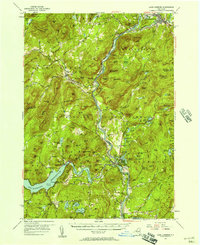
1955 · Lake Luzerne
USGS Topo · 1:62,500