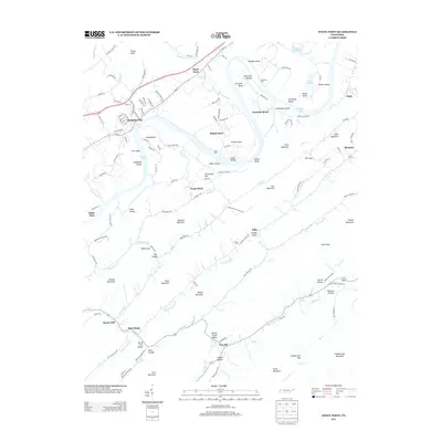
2013 Map of Stony Point
USGS Topo · Published 2013About this map
The Holston River carves a complex series of loops through this portion of East Tennessee, creating distinctive landforms like Phipps Bend and Christian Bend. These river meanders have historically dictated the placement of settlements and transport, as seen at Stony Point and Surgoinsville. The terrain is defined by a series of parallel ridges and knobs, including River Mountain and Hennard Mountain, which hem in narrow valleys where small communities like New Hope and Van Hill are situated.
Find a feature on this map
136 named features on this map. Tap any name to fly to it.
Don’t see what you’re looking for? This feature index may not catch every label — zoom into the map to look around manually.
Map Details
Editions of this 2013 Stony Point Map
This is the sole edition of this map. No revisions or reprints were ever made.
Other maps of this area

1892 · Greeneville
USGS Topo · 1:125,000

1894 · Estillville
USGS Topo · 1:125,000

1896 · Greeneville
USGS Topo · 1:125,000

1904 · Greeneville
USGS Topo · 1:125,000

1935 · Surgoinsville
USGS Topo · 1:48,000

1935 · Baileyton
USGS Topo · 1:24,000

1935 · Lovelace
USGS Topo · 1:24,000

1935 · Moggasin
USGS Topo · 1:48,000

1935 · Looneys Gap
USGS Topo · 1:24,000

1935 · McCloud
USGS Topo · 1:24,000