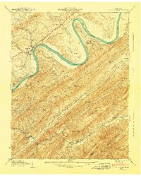
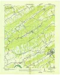
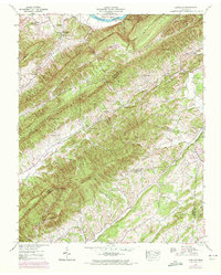
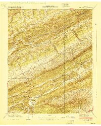
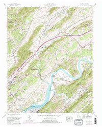
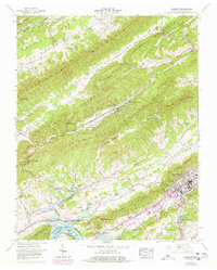
1940 Map of Stony Point
USGS Topo · Published 1940This historical map portrays the area of Stony Point in 1940, primarily covering Hawkins County as well as portions of Greene County. Featuring a scale of 1:24000, this map provides a highly detailed snapshot of the terrain, roads, buildings, counties, and historical landmarks in the Stony Point region at the time. Published in 1940, it is the sole known edition of this map.
Find a feature on this map
68 named features on this map. Tap any name to fly to it.
Don’t see what you’re looking for? This feature index may not catch every label — zoom into the map to look around manually.
Map Details
Editions of this 1940 Stony Point Map
This is the sole edition of this map. No revisions or reprints were ever made.
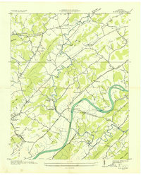
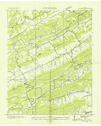
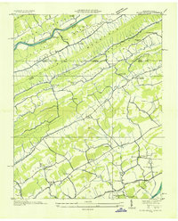
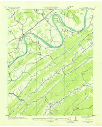
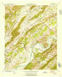
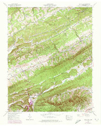
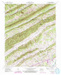
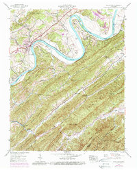
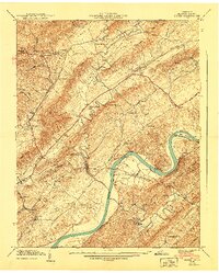
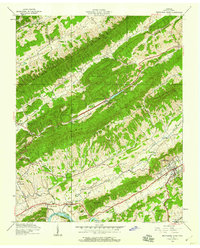
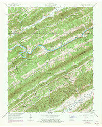
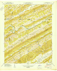
Historical Maps of Miller Flats Through Time
21 maps found
1935 Burem
Hawkins County, TN
1935 Lee Valley
Hawkins County, TN

1935 Looneys Gap
Hawkins County, TN

1935 Lovelace
Hawkins County, TN
1935 Plum Grove
Hawkins County, TN
1935 Pressmens Home
Hawkins County, TN
1935 Stonypoint
Hawkins County, TN
1939 Burem
Hawkins County, TN
1939 Lee Valley
Hawkins County, TN
1939 Lovelace
Hawkins County, TN
1939 Plum Grove
Hawkins County, TN
1939 Stony Point
Hawkins County, TN
1940 Burem
Hawkins County, TN
1940 Lee Valley
Hawkins County, TN
1940 Pressmens Home
Hawkins County, TN
1940 Stony Point
Hawkins County, TN
1947 Looneys Gap
Hawkins County, TN
1950 Looneys Gap
Hawkins County, TN
1961 Burem
Hawkins County, TN
1961 Camelot
Hawkins County, TN
1976 Looneys Gap
Hawkins County, TN