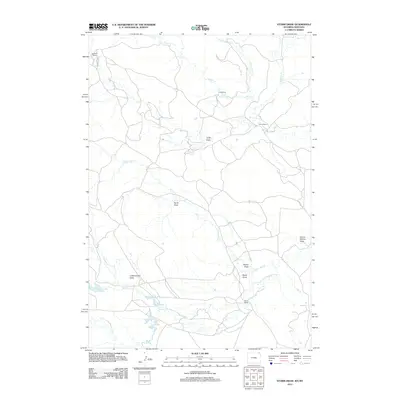
2012 Map of Storm Draw
USGS Topo · Published 2012About this map
Leonard Ranch and Linch Ranch anchor this landscape of the High Plains along the border of Montana and Wyoming. The terrain is defined by a dense network of intermittent drainages and draws that feed the N Fork Little Missouri River as it flows across the southern portion of the quadrangle. Among these significant geographical features are Storm Draw, Cottonwood Draw, and School Section Draw, illustrating the erosional patterns of this arid ranching country.
Find a feature on this map
18 named features on this map. Tap any name to fly to it.
Don’t see what you’re looking for? This feature index may not catch every label — zoom into the map to look around manually.
Map Details
Editions of this 2012 Storm Draw Map
This is the sole edition of this map. No revisions or reprints were ever made.
Other maps of this area

1905 · Devils Tower
USGS Topo · 1:125,000

1954 · Strawberry Hill
USGS Topo · 1:24,000

1954 · Ekalaka
USGS Topo · 1:250,000

1954 · Gillette
USGS Topo · 1:250,000

1955 · Gillette
USGS Topo · 1:250,000

1956 · Ekalaka
USGS Topo · 1:250,000

1957 · Seely
USGS Topo · 1:62,500

1957 · Cedar Ridge
USGS Topo · 1:62,500

1958 · Gillette
USGS Topo · 1:250,000

1958 · Ekalaka
USGS Topo · 1:250,000