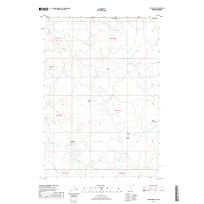
2017 Map of Storm Draw
USGS Topo · Published 2017About this map
Thompson Creek Oilfield Airport sits in the northwestern corner of this landscape, marking a localized pocket of industrial utility within a terrain defined by its complex drainage systems. Crossing the Wyoming and Montana border, the land is etched by numerous seasonal channels and named draws. Significant water features include the N Fork Little Missouri River and the Battle Cr Reservoir, which collect flow from tributaries such as Prickly Pear Cr and N Battle Cr. The naming conventions found throughout the quadrangle, from School Section Draw to Deadman Cr, reflect a history of land use and local navigation in a region where water sources and topographic relief dictates the placement of roads and infrastructure.
Find a feature on this map
25 named features on this map. Tap any name to fly to it.
Don’t see what you’re looking for? This feature index may not catch every label — zoom into the map to look around manually.
Map Details
Editions of this 2017 Storm Draw Map
This is the sole edition of this map. No revisions or reprints were ever made.
Other maps of this area

1905 · Devils Tower
USGS Topo · 1:125,000

1954 · Strawberry Hill
USGS Topo · 1:24,000

1954 · Ekalaka
USGS Topo · 1:250,000

1954 · Gillette
USGS Topo · 1:250,000

1955 · Gillette
USGS Topo · 1:250,000

1956 · Ekalaka
USGS Topo · 1:250,000

1957 · Seely
USGS Topo · 1:62,500

1957 · Cedar Ridge
USGS Topo · 1:62,500

1958 · Gillette
USGS Topo · 1:250,000

1958 · Ekalaka
USGS Topo · 1:250,000