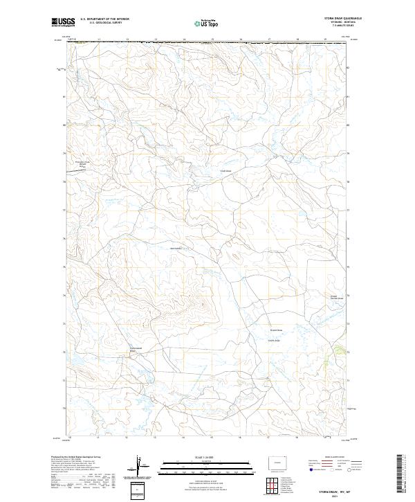
2021 Map of Storm Draw
USGS Topo · Published 2021About this map
The N Fork Little Missouri River meanders through this portion of Crook County, Wyoming, defining a landscape marked by complex drainage networks and remote industrial infrastructure. The terrain is characterized by numerous seasonal watercourses and topographic depressions, most notably Storm Draw, Cottonwood Draw, and School Section Draw. These features represent a classic High Plains drainage pattern where water availability dictated historical land use and boundary lines.
Find a feature on this map
24 named features on this map. Tap any name to fly to it.
Don’t see what you’re looking for? This feature index may not catch every label — zoom into the map to look around manually.
Map Details
Editions of this 2021 Storm Draw Map
This is the sole edition of this map. No revisions or reprints were ever made.
Other maps of this area

1905 · Devils Tower
USGS Topo · 1:125,000

1954 · Strawberry Hill
USGS Topo · 1:24,000

1954 · Ekalaka
USGS Topo · 1:250,000

1954 · Gillette
USGS Topo · 1:250,000

1955 · Gillette
USGS Topo · 1:250,000

1956 · Ekalaka
USGS Topo · 1:250,000

1957 · Seely
USGS Topo · 1:62,500

1957 · Cedar Ridge
USGS Topo · 1:62,500

1958 · Gillette
USGS Topo · 1:250,000

1958 · Ekalaka
USGS Topo · 1:250,000