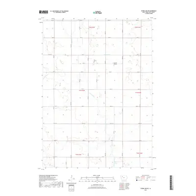
2018 Map of Storm Lake NE
USGS Topo · Published 2018About this map
The N Raccoon River and its southern continuation, the North Raccoon River, wind through this section of Buena Vista County, defining the drainage of a landscape shaped by rural agriculture and early infrastructure. This 2018 survey reveals a highly organized grid of township roads and county highways that segment the terrain into precise sections, a pattern punctuated by local water management features like Lateral Number 2 and the winding course of Poor Farm Cr. For those tracing local heritage, the map identifies significant cultural landmarks including the Zion Lutheran Cem and Saint Johns Church of Christ Cem, which serve as physical links to the families who settled this part of Iowa. The landscape is primarily defined by its hydrology and the endurance of these community burial grounds within a vast network of section lines.
Find a feature on this map
25 named features on this map. Tap any name to fly to it.
Don’t see what you’re looking for? This feature index may not catch every label — zoom into the map to look around manually.
Map Details
Editions of this 2018 Storm Lake NE Map
This is the sole edition of this map. No revisions or reprints were ever made.
Other maps of this area

1954 · Fort Dodge
USGS Topo · 1:250,000

1957 · Fort Dodge
USGS Topo · 1:250,000

1958 · Fort Dodge
USGS Topo · 1:250,000

1971 · Sioux Rapids SE
USGS Topo · 1:24,000

1971 · Albert City
USGS Topo · 1:24,000

1971 · Rembrandt
USGS Topo · 1:24,000

1979 · Lakeside
USGS Topo · 1:24,000

1979 · Storm Lake
USGS Topo · 1:24,000

1979 · Varina
USGS Topo · 1:24,000

1979 · Newell West
USGS Topo · 1:24,000